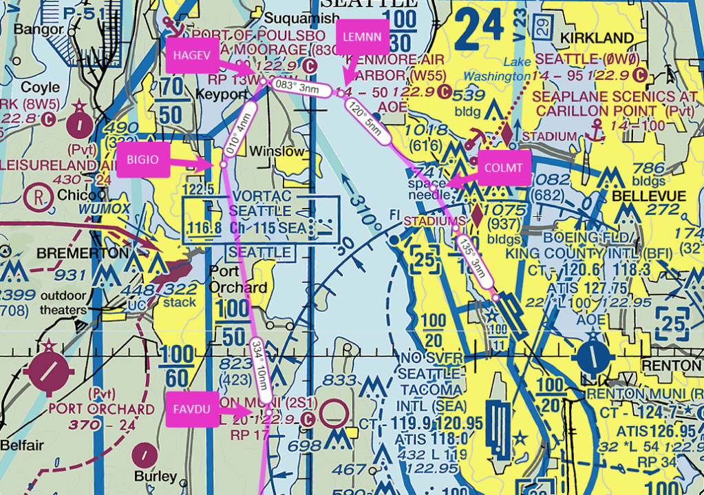
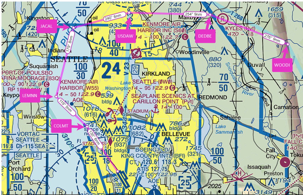
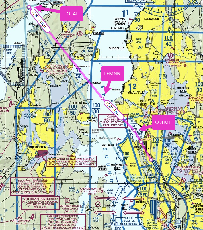
I recently flew the A36 Bonanza from Boeing Field (KBFI) in Seattle to Grant County Airport (KMWH) at Moses Lake, WA and back, taking advantage of a break in the weather to cross the Cascade Mountains again before winter weather makes such trips increasingly rare.
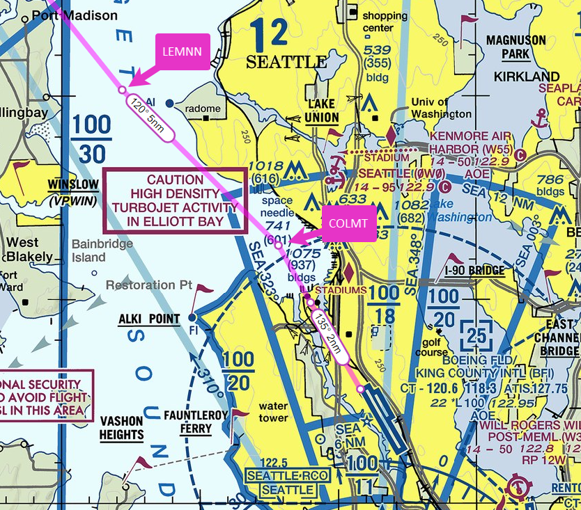
The return to KBFI included a visual approach that passed over Seattle-Tacoma International Airport (KSEA) to a swooping descent over Puget Sound and through Elliott Bay to runway 14R.
I also captured videos of the flight to and fromKMWH, which you can watch on my YouTube channel here and here.
Ride along as I return to Boeing Field (KBFI) after a quick stop for fuel at the Shelton-Sanderson airport (KSHN), southwest of Seattle.
I set up for the Blake Arrival, a VFR procedure that begins over Blake Island, which lies about 8 miles west of Boeing Field.
The VFR departure and arrival routes for Boeing Field are described on the reverse side of the Seattle terminal area chart, the so-called VFR Flyway Planning Chart.
The Blake Island Arrival is a “south arrival” for traffic inbound from the west. It’s used when Runways 14L and 14R are active. It begins over Blake Island at 2000-2500 ft to remain below the Class B shelf in the area. You then fly direct toward Lincoln Park, just north of the Fauntleroy Ferry dock, descending to cross the shoreline at 1500 ft, then continuing down to 1000 ft, taking care to remain below and clear of the overlying Class B airspace.
Boeing Tower usually directs you to fly a right base leg for runway 14R, but sometimes, to sequence you with other traffic, ATC needs to put you on a right downwind.
Or, as happened on this day, changes your runway assignment to 14L.
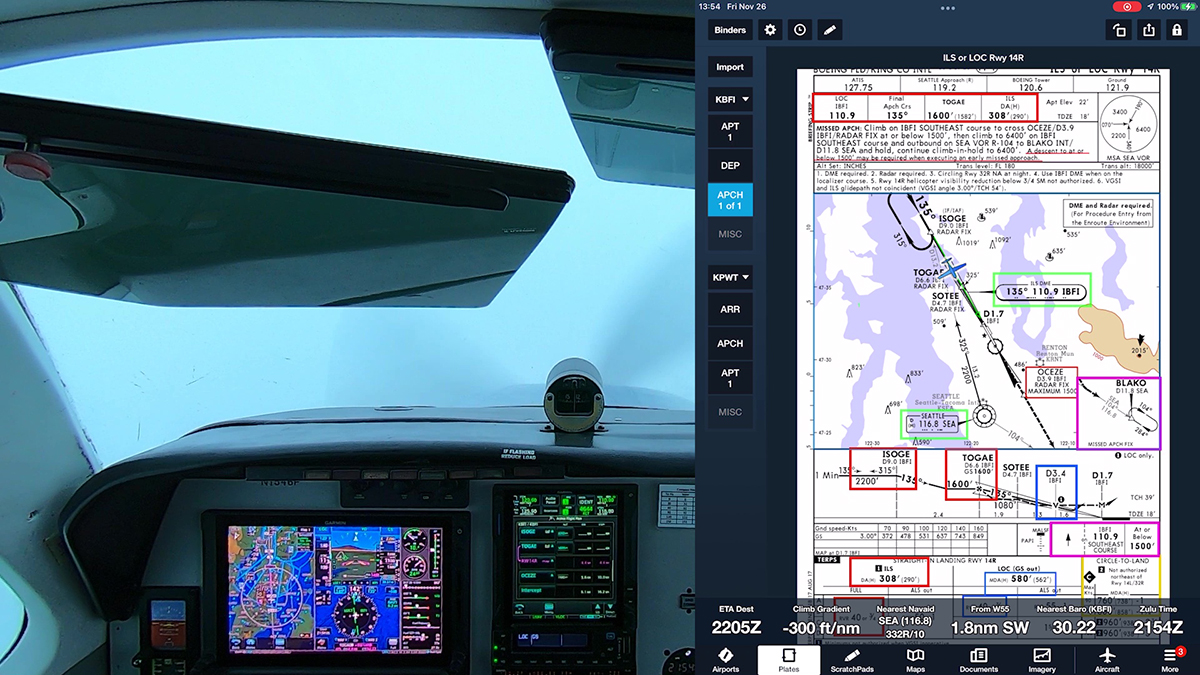
After flying a low approach almost to minimums at Bremerton (KPWT), I made the quick return to Boeing Field (KBFI) via radar vectors to the ILS RWY 14R, where the weather was better, with a ceiling of about 1000 ft. and good visibility below the clouds. As you’ll see, it’s a moderately busy flight given the short distance and the usual challenge of fitting into the flow at KBFI.
On this late-November afternoon, however, I enjoyed the rare treat of cloud surfing above a solid undercast, with blue skies above, at least for a few minutes. Keen observers will even spot Mt. Baker in the distance as I turn northeast.
For more information about the technique of setting a course to a fix, which I often use when flying the ILS at KBFI, see Setting a Course v. Vectors to Final. To learn about annotating electronic IFR charts, see Annotating IFR Charts.
A warm front recently brought widespread IMC to the Seattle area, and because the freezing level had climbed to about 5000 ft., I had a good opportunity to fly a couple of approaches for practice.
Ride along as I hop from Boeing Field (KBFI) in Seattle to nearby Bremerton National (KPWT), just across Puget Sound, for an RNAV (GPS) approach with a ceiling that was just 100 ft above the published DA of 200 ft. I let the GFC 600 autopilot fly the approach–my standard operating procedure when the weather is near minimums–so that I could could make sure that the airplane and avionics were properly set up. The GFC 600 also can fly a coupled missed approach, as you’ll see.
To learn more about how I prepare for IFR flights, see:
As the video below shows, I spent most of the flight in the clouds, but the tops in the area were at about 3500 ft., and I was able to cloud surf in an interesting sky for a little while.
Note that I filed three-letter codes in the remarks section of my flight plan to help Seattle Approach Control anticipate the procedures that I wanted to fly. For an explanation of the codes you can use in the TRACON’s airspace, see this document (PDF).
Orcas Island, the second most populated of the San Juan Islands, is an easy getaway by small plane. The flight is less than an hour from Seattle, even in Cessna 172, and in that short time the scenery changes dramatically from the high-rises along the Seattle waterfront to views of Mt. Constitution and other peaks that rise from the north end of Puget Sound.
I typically fly up the east side of the metro area and then island-hop to Orcas Eastsound (KORS) or Friday Harbor (KFHR), the two most populous towns in the islands. You can see that general route at SkyVector here.
The video below shows a flight on an almost-summer day. I flew the new (as of May 2021) Green Lake Departure from Boeing Field (KBFI). You can find a detailed description of that route and the other new VFR arrival and departure procedures at KBFI here (PFD). The routes are also depicted on the back side of the Seattle TAC chart, the so-called Fly chart.
Before you fly into KORS or KFHR, make sure you visit the websites for each airport:
KORS; noise abatement routes and related information here
KFHR; noise abatement routes and related information here
I have created an expanded guide to the new arrival and departure routes, with each route shown on the relevant section of the Seattle TAC chart (see sample below). You can download the PDF version of that document from my OneDrive folder here.
I have also started posting videos of the new procedures on my YouTube channel. Here’s the Aliki Departure when runways 32 are in use.
Even on a windy, bumpy Sunday afternoon, Boeing Field (KBFI) in Seattle can be a busy place.
I wanted to get some practice wrestling with crosswinds, so I took a short hop to nearby Bremerton, WA (KPWT) and then back to KBFI. Bremerton wasn’t busy. The wind there was 20-30 degrees off the runway heading and gusting to about 30 knots.
I was surprised on the return to KBFI, however, to find that the tower frequency was hopping. As you can hear in the first video above, one controller was working the two parallel runways on separate frequencies, herding a mix of VFR and IFR traffic, single-engine pistons and jets, helicopters and amphibs.
The wind at KBFI wasn’t quite as strong and it was more closely aligned with the runway, but Boeing Field lies in a valley, and the wind strength and direction often change dramatically as you descend to traffic pattern altitude and then to the runway.
Enjoy the ride. More flying videos at my YouTube channel: BruceAirFlying.
I made a short flight from Seattle to the Washington coast at dusk to fly an RNAV (GPS) approach at KHQM. We were between weather systems, but I enjoyed an interesting sky and a sweeping view of the Seattle area after takeoff. Notice also the wispy ground fog in the valleys and the serene scene Hoquiam at the end of the day.
Air traffic control has revised the Lincoln Departure at Boeing Field (KBFI) in Seattle. It’s one of the VFR procedures used at to provide an orderly flow of traffic below the Seattle Class B airspace and to avoid TCAS alerts in airliners descending over KBFI into KSEA.
As noted below, the initial altitude on the Lincoln Departure (which may be renamed the Vashon South Depature) is now 700 ft. MSL.
The Lincoln Departure almost always begins from runway 14R. It now requires a climb straight ahead to 700 ft. MSL, then a level 180-degree turn into a close-in right downwind over the Duwamish River, remaining at 800 ft. As you approach the South Park Bridge, almost abeam the control tower, turn left toward a school bus parking lot and parallel the main streets that head west over the ridge. As you reach the ridge, climb no higher than 1000 ft. Continue on a track between the north tip of Vashon Island and Blake Island. When you cross the SEA 323 degree radial, you can climb to 1500 ft. At the shoreline, you can continue to 2500 ft.