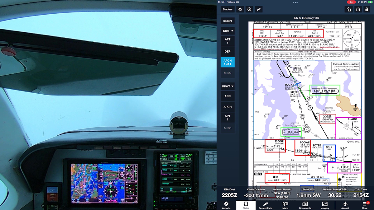
Here’s video from a recent IFR proficiency flight in my Beechcraft A36, a 1989 model with updated avionics, including a Garmin G500 PFD/MFD and Garmin GTN 750.
I departed Boeing Field (KBFI) in Seattle for the quick hop to Sanderson Field in Shelton, WA (KSHN).
This video picks up after Seattle Approach cleared me to HOOME, an IAF for the RNAV (GPS) RWY 23 approach.

My avionics are capable of flying this procedure to LPV (localizer performance with vertical guidance) minimums. In other words, this RNAV (GPS) procedure offers approved vertical guidance–a GPS-derived glidepath. Flying to LPV minimums effectively uses the same techniques as flying an ILS.
Note, however, that this procedure includes two lines of LPV minimums. The decision altitude (DA) for the first line is 523 ft with a visibility requirement of 3/4 sm.
The second LPV line has higher minimums: 667 ft and 1-1/4 sm.
Why the difference? Note the # next to the DA in the first line. It leads you to a note in the description near the top of the chart:
#LPV missed approach requires minimum climb of 244 feet per NM to 1700.
To use the minimums of DA of 523 and 3/4 sm visibility, you must be able to climb at 244 feet per NM during the initial stages of the missed approach. That’s a slightly higher climb gradient than the standard 200 feet per NM.
Note that the climb requirement is for a climb gradient in feet per NM, not a rate of climb in feet per minute. To determine if your aicraft is capable of achieving the required climb gradient, you must check the Climb/Descent Table in the supplement to the Terminal Procedures Publication or calculate the climb gradient that corresponds to your groundspeed and rate of climb when you fly the missed approach portion of the procedure.
In my A36, climbing out at 110 KIAS, with a groundspeed of about 100 KIAS given the headwind component, and an initial (conservative) climb rate of about 600 fpm, my climb gradient is about 300 ft/nm, so I can use the lower DA and visibility when flying this approach.
You can find more videos from this IFR flight at my YouTube channel, BruceAirFlying.


