Flying without Paper Charts

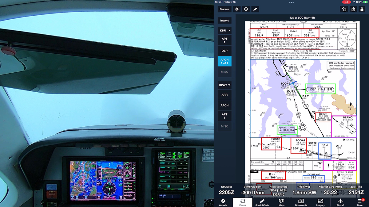
I recently gave a presentation about flying RNAV procedures at the Northwest Aviation Conference. As usual, I asked how many pilots in the audience were using tablets like iPads in the cockpit. Most of the folks raised their hands. It’s astonishing how quickly the aviation community has adopted this technology.

Nevertheless, questions persist about the legality of “going paperless” in the cockpit, at least for typical GA pilots operating light aircraft under 14 CFR Part 91. Here are some key references to help you understand the rules and good operating practices.

The best background is in AC 91-78A – Use of Electronic Flight Bags, which explains:

This advisory circular (AC) provides aircraft owners, operators, and pilots operating aircraft under Title 14 of the Code of Federal Regulations (14 CFR) part 91, with information for removal of paper aeronautical charts and other documentation from the cockpit through the use of either portable or installed cockpit displays (electronic flight bags (EFB))..

The AC also notes:

This AC is applicable to instrument flight rules (IFR) or visual flight rules (VFR), preflight, flight, and post flight operations conducted under part 91, unless prohibited by a specific section of 14 CFR chapter I.

And it explains:

Operators have long recognized the benefits of using portable electronic devices (PED), such as commercially available portable computers, to perform a variety of functions traditionally accomplished using paper references. EFB systems may be used in conjunction with, or to replace, some of the paper reference material that pilots typically carry in the cockpit. EFBs can electronically store and retrieve information required for flight operations, such as the POH and supplements, minimum equipment lists, weight and balance calculations, aeronautical charts and terminal procedures. EFB systems are being developed to support functions during all phases of flight operations.

Sporty’s has a good overview of the topic here. For information about using iPads and the like on practical tests, see this item at AOPA.

Garmin Guidance on Database Updates

Garmin has published guidance for updating its GTN avionics with a Flight Stream and Database Concierge. Web page here; PDF here.

The Flight Stream 510, an SD card that is Wi-Fi and Bluetooth enabled, works with GTN-series avionics. It provides a wireless connection to the GTN to update databases and to provide GPS and ADS-B information to apps such as ForeFlight and Garmin Pilot. The FS510 is part of the Garmin Connext series of products and services.


Stand-Alone DMEs on Charts

As the FAA moves ahead it with its plans to decommission about one-third of the existing network of VORs in the continental U.S. (for more information, see Another Update on VOR Decommissioning and its related posts), a new type of navaid–a stand-alone DME facility–is appearing on aeronautical charts.

Here’s an example southwest of Las Vegas, NV. Note the identification and frequency box for the GOODSPRINGS DME (GOG). The site of the transmitter is shown by the small blue box indicated by the red arrow.

GoodspringsDME.jpg

Here’s the same facility on a low-altitude IFR chart:

GoodspringsDME-IFR.jpg

And here are examples from the Aeronautical Chart Users Guide. First, as shown on VFR charts:

Stand-Alone-DME-ACUG-VFR
And as depicted on IFR charts:

Stand-Alone-DME-ACUG-IFR

You can read more about these stand-alone DME facilities in DME Facilities – Charting and MAGVAR Issues (PDF), which describes the discussions of the Aeronautical Charting Forum, an FAA-industry group.

These stand-alone DMEs are primarily for use by aircraft with DME-DME area navigation equipment, and in many cases, they are left over when the VORs they were associated with are shut down. Where necessary, new DMEs will be added to support RNAV procedures based on DME-DME as an alternative to GPS. As you can see from the chart, these DMEs do not provide azimuth (course) information like a VOR-DME or VORTAC. They are simply DMEs.

If, like most IFR pilots flying typical GA aircraft, you use GPS as your primary navigation source, these charted stand-alone DMEs are of most interest as fixes that you can include in a route or flight plan. If you still have a DME receiver in your airplane, you can tune, identify, and reference these DMEs as you fly.