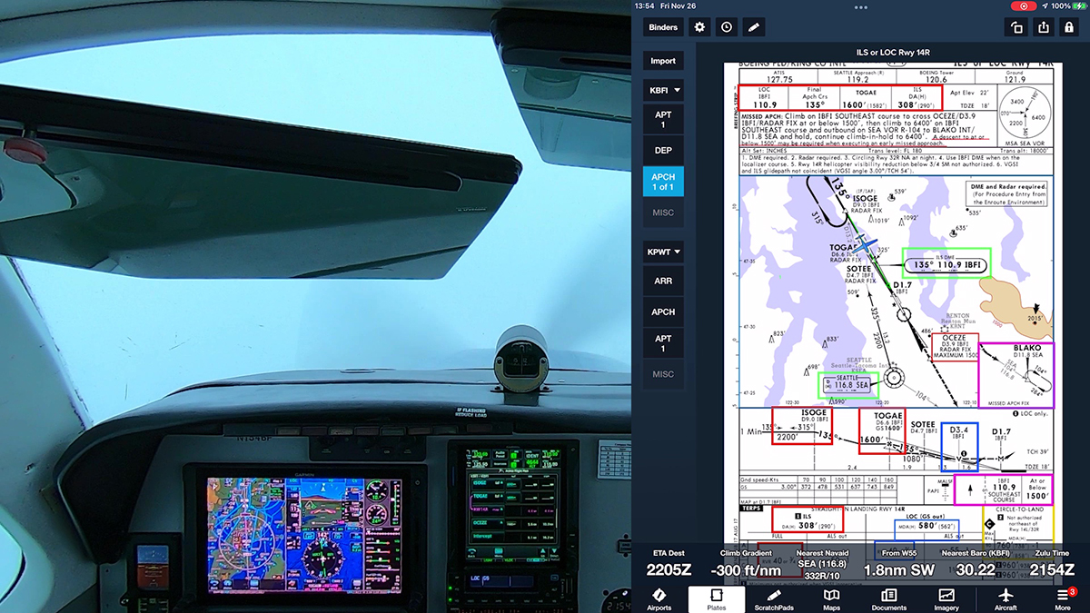
The ADS-B mandate has arrived, and with it comes the potential for another source of confusion. Most pilots flying with ADS-B systems have a display of traffic in the cockpit, either on a moving map that’s part of a GNSS navigation system or on a tablet like an iPad running an app such as ForeFlight, Garmin Pilot, or FlyQ. These traffic systems usually show the identification of other aircraft, either the registration number or the airline flight number.

When ATC issues traffic advisories–for example, “Cessna 1234A, traffic 2 o’clock, 4 miles, a Southwest 737”–it might be tempting to include the target identification in your acknowledgement. For example, “Cessna 1234A, we have Southwest 2345 in sight,” or “Southwest 2345 in sight, Cessna 1234A.”
If that sounds odd, watch some aviation videos on YouTube. At least one pilot flying an airplane with a new glass panel has made a habit of such replies.
For obvious reasons, it’s a bad idea to include another aircraft’s identification or call sign when you respond to ATC. In fact, the FAA’s December 2019 update to AC 90-114 Automatic Dependent Surveillance-Broadcast Operations anticipates this issue:
2.4.3.4 Unless initiated by the controller, pilots should typically not use the call sign or Aircraft Identification (ACID) of observed traffic in radio communications, as this could create confusion for both ATC and pilots monitoring the frequency.
AC 90-114B
So even if you’re equipped with the latest technology, stick to the standard replies when ATC points out traffic:
“Cessna 1234A, traffic 2 o’clock, 4 miles, a Southwest 737.”
“Cessna 1234A, we have the Southwest 737 in sight,” or “Traffic in sight, Cessna 1234A.”


