

Many pilots are curious about routes to fly on longer trips around the western U.S. and to/from the West to destinations like Oshkosh (home of EAA AirVenture).
I’ve flown around the West and to Oshkosh many times over the years, in a variety of aircraft–usually normally aspirated piston singles. I’ve organized routes that I fly regularly into a Microsoft Excel workbook, which you can download from my public AviationDocuments folder at OneDrive, here. Look for the file named BruceAirPreferredRoutes.

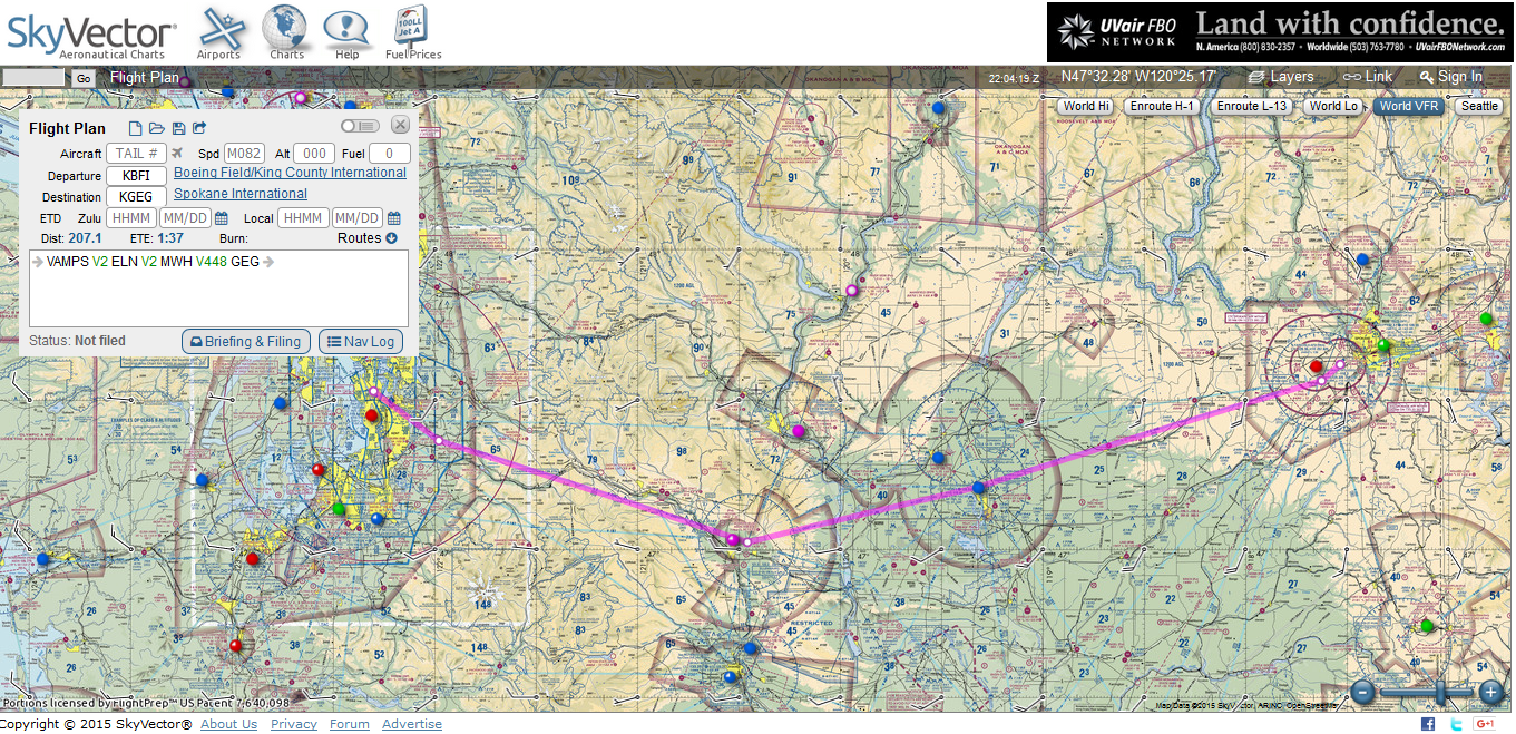
Each entry includes a basic description and:
- Links to information about the departure and destination airports (at SkyVector.com)
- An overlay of the route on a VFR chart at SkyVector.com
- Basic statistics (distance, etc.)
The AircraftData tab (at the bottom of the worksheet window) contains basic information about the aircraft (e.g., KTAS and fuel burn) that link to the information in the main Routes tab. Edit the information in the AircraftData tab to match the data for the aircraft that you fly, and it will automatically populate the appropriate fields in the Routes tab, saving you the effort of manually filling in speeds, etc. for each route.
Keep in mind that these routes are general guidelines that may help you start planning trips in these areas. You should adjust them for the performance of the aircraft you fly, fuel stops, places you want to visit, terrain, and so forth. Obviously, weather and other factors (such as your personal preferences for leg lengths) also come into play.

