One of the terrific features available in the latest digital autopilots is VNAV, or vertical navigation. If you have a Garmin GTN-series navigator and a GFC 500 or GFC 600 autopilot, you can use VNAV to descend to the charted altitudes along the intermediate legs of an instrument approach, until you reach the final approach fix.
VNAV is also available on most G1000 systems equipped with the GFC 700 autopilot, including the new G1000 NXi, and some other manufacturers, such as Avidyne, plan to add the feature to their systems.
The 10-minute video below demonstrates how VNAV can help you fly a smooth, precise descent prior to the FAF. The video explains the basic concepts, uses the Garmin PC Trainer Suite to highlight key details, and then shows VNAV at work as I fly the RNAV (GPS) RWY 12 approach at Kelso, WA (KKLS).
For more information about VNAV, see Garmin GTN VNAV here at BruceAir. Garmin has also posted a detailed explanation of VNAV in the following video.
The procedure, which requires only a VOR receiver and DME, highlights an often-overlooked use of DME arcs—departures. We typically think of DME arcs used as transition or feeder routes for instrument approaches.
The WENAS 7 begins with a turn to intercept the YKM 255 radial, which leads you to WENAS, a fix 9 nm from the YKM VOR. At WENAS, you join the 9-mile arc north-northeast bound. You follow the arc to intercept one of six airways by leaving the arc at the appropriate fix.
I planned to fly V298 northwest from Yakima and then turn westbound toward Seattle, so I filed the WENAS 7 SID with the PERTT transition. PERTT is a fix on V298, 23 nm northwest of the YKM VOR.
My airplane is equipped with VOR receivers and DME, but I can use the GPS capability of the GTN 750Xi to fly any departure based on navaids. That capability is described in AIM 1-2-3 and AC 90-108. That AC and the language in the AIM will be updated, probably in late 2021 or 2022 by the new AC 90-119. (For more information, see Draft AC 90-119 Performance-Based Navigation Operations.)
Using GPS increases my situational awareness and reduces my workload during the busy departure phase of flight.
To fly the WENAS 7, I add the procedure to my flight plan. And my GFC 600 autopilot can fly the entire procedure, tracking the 255 radial to join the arc, then flying the curved track of the arc, and finally smoothly joining the airway at SELAH, then on to PERTT. The autopilot can also climb an indicated airspeed or at rate that I choose.
But flying this departure isn’t as simple as taking off and pressing buttons on the autopilot.
Yakima is on the eastern edge of the Cascade Range and flying west or northwest under IFR means you must meet a specific climb gradient, as shown on the chart.
Departing runway 27, you must meet a minimum climb gradient of 350 ft per nautical mile.
Pilots usually think of climbs and descents in rates of feet per minute, not gradients of feet per nautical mile. After all, we have vertical speed indicators that show rates. Most of us do not have an instrument in the panel that directly shows our climb gradient, which depends on the rate of climb and our current ground speed.
Planning to fly this departure requires determining the rate of climb you need to achieve to meet the minimum climb gradient, and that calculation includes factors such as the wind, your expected TAS and ground speed during the climb, and the rate of climb your airplane can achieve at its takeoff weight at the current density altitude.
The calculations involve the performance charts from the handbook for the airplane you fly and applying some basic math or using a table that the FAA publishes on the back inside cover the TPP.
The FAA table, or the equivalent published by Jeppesen, includes speeds and rates of climb that aren’t relevant to the aircraft that I fly, so I made a more focused version that I keep in a document binder in ForeFlight. The official tables also include rates of climb calculated to the nearest foot, which is a misleading level of precision. So my table, created in Microsoft Excel, associates each climb gradient, in 10-ft increments, with the corresponding rate of climb, rounded up to the nearest 100 fpm (using the MROUND function; the Microsoft Excel workbook is available here). That’s a value I can see on the VSI in the cockpit.
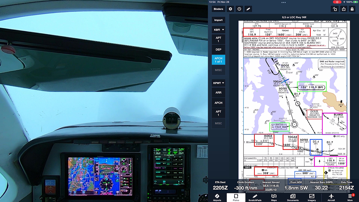
I also display the Climb Gradient “instrument” at the bottom of the map view in Foreflight. I don’t need to see groundspeed and other data already displayed in my panel, so I devote the ForeFlight Instrument Panel to other information. The ForeFlight Pilot Guide and the app show all the available “instruments” you can display at the bottom of the map.
The real-time display of my climb gradient—it’s also a display of the current descent gradient—is a great aid to situational awareness during IFR departures and while flying instrument approaches.
As you’ll see in the video, I filed a preferred route used for low-altitude IFR traffic between the Seattle and Portland areas. I also pass along tips for copying IFR clearances and ATIS/AWOS information.
Leaving KBFI, I flew the NRVNA ONE departure, an RNAV procedure. At KUAO, I flew the RNAV (GPS) RWY 35 approach to get below a solid cloud layer that topped out at around 4000 ft.
I hope you enjoy the views of cloud surfing along the way as I use the Garmin G500 TXi, GTN 750Xi, and GFC 600 autopilot.
Video of the return flight from KUAO to KPWT (for fuel) is here.